Using 00/06z model suite for this update, 12z comes out soon..

Wisconsin Weather
Today is going to depend on the convective system over Iowa currently. If it moves through quickly there will be an opportunity for strong/severe storm development late this afternoon/early tonight in far southern WI. If rain & clouds linger into the afternoon severe potential will bust.
The convective system right now in Iowa doesn't appear to be letting up or shrinking. All CAMs pretty much weaken this system over WI/IL. Feeding on an axis of elevated instability right now. Could see strong wind gusts along the WI/IL border with this. Typically this timing does not work out for afternoon severe weather. Expect late initiation pushing sunset even; and by that point heating is weakening. Dewpoints and instability overdone on the models.
Plenty of ways this may not work out.
Overall I'm leaning towards the weaker 06z NAM high res and will watch how things evolve today. I like the "strong" wording for now. Will boost to severe if things appear to be clearly heading that way. If things come together the parameters suggest severe storms with a tornado risk near the warm front located near the WI/IL border. If they don't, the severe weather threat will be limited to Illinois along and south of I-88.
Heavy rain of 1-2" possible in far southern WI also where the NWS has placed a Flash Flood Watch.
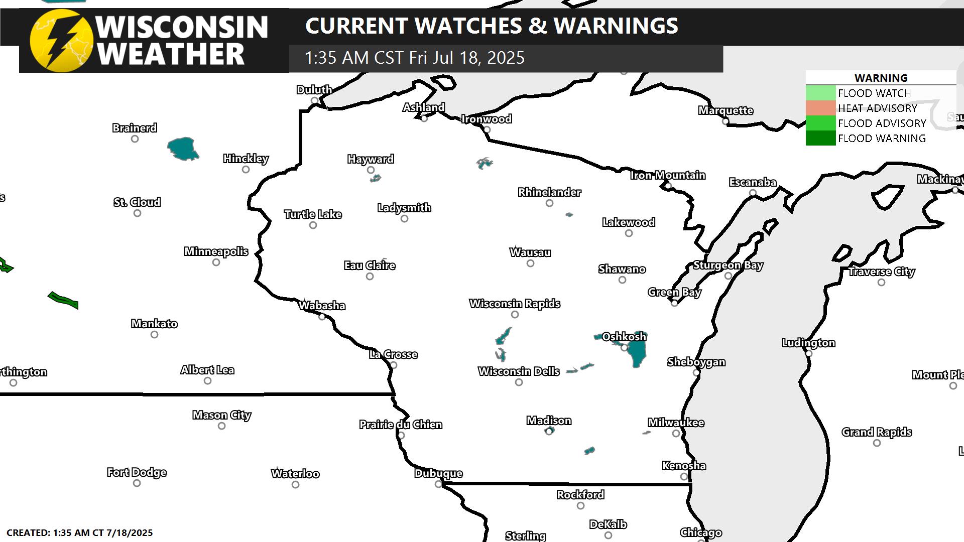
Current Warnings, Watches, and Advisories
8:00AM Facebook Update
-JP